History of Mt. Rainier
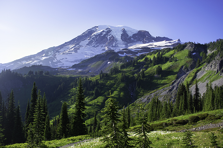
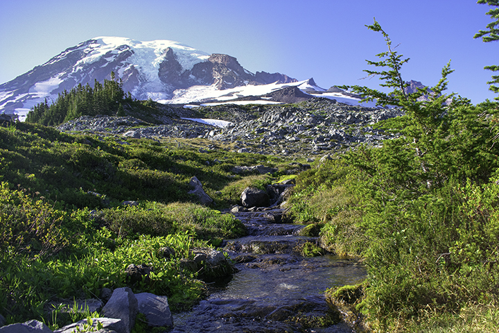
At an elevation of 14,411 feet, Mount Rainier is one of the most dangerous mountains in the world to summit. Located about 60 miles south-southeast of Seattle and, the strato volcano is the highest peak in the contiguous United States and has the largest alpine glacial system outside of Alaska. Mount Rainier is part of the Pacific ring of fire and the Cascade mountain range. Without an eruption since 1894 , one is long over-due.


Mount Rainier is the highest volcanic peak in the Cascades, a mountain range that stretches from Mount Garibaldi in British Columbia to Lassen Peak in Northern California. Mount Rainier was formed not in one great cataclysm, but by many years of volcanic activity. It is a composite volcano (or stratovolcano) made from sluggish, intermittent lava flows and explosive eruptions of ash and rock. About 5,700 years ago, the smoldering fires inside Mount Rainier erupted and the mountainside collapsed. Tons of rock, mud and debris rolled down the peak's northeast flank. A wall of mud 100 feet high cascaded like a river of wet cement across 125 square miles ending in the waters of Puget Sound. This mud slide is called the Osceola Mudflow; the towns of Kent, Sumner, Auburn and Puyallup are built on top of the flow. Gone was the 16,000-foot summit, leaving a northeast-facing depression measuring nearly two miles in diameter.

Congress established Mount Rainier National Park on March 2, 1899, reaffirming the nation's intent to set aside certain areas of outstanding scenic and scientific value for the enjoyment of present and future generations. The National Park encompasses 236,380.89 acres or 369.34 square miles within the legislative parkboundary, with an additional 140 acres lying outside the boundary. Of that amount, 228,480 acres (97% of the park) has been designated by Congress as Wilderness. The park is also a National Historic Landmark District. The park has over 275 miles of maintained trails and 120 miles of roads.
